Thursday, February 21: Sunny to begin with, a couple of sprinkles and then some moderate showers
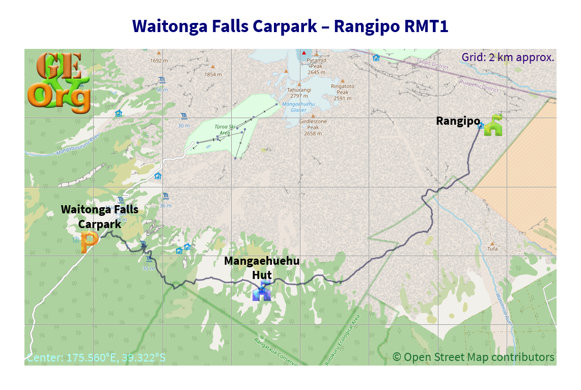
Tramping: 17.4 km
Rangipo Hut (Doc, $15)
Alan was up very early & off to work, long before I had to get up, but at around 7:00 I thought it would be enough time to throw stuff into the suitcase and complete packing for the tramp.
About the only things that weren’t up to scratch were that the compass hasn’t been calibrated, and it looks like I put in two hairbrushes; also the tripod should have been stripped of the gimbal attachment & the straps.
All was packed up & Jo and A. were on their way when I went out to the street to await my chauffeur, and Alan was already on his way back home. My driver had a couple of tips for me and we were soon at the drop-off point. He checked with his office about the return details so everything is in the green zone.
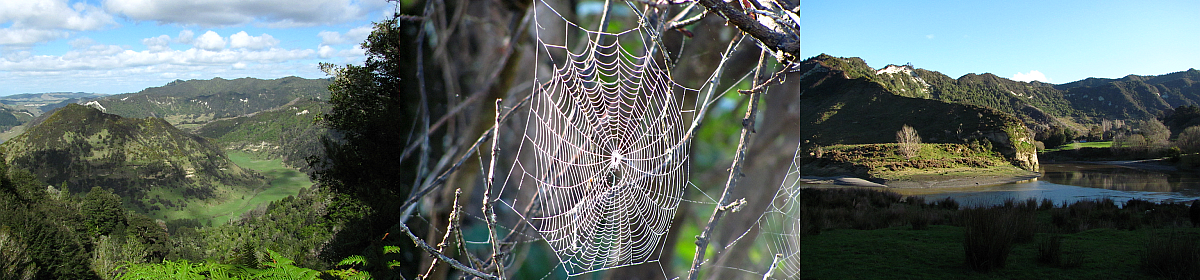
I started off immediately and was soon with a group of Americans from Reno and we arrived at their destination after a short walk, the Waitonga Falls. Not much water falling down the cliff face today, but I tried it for a bracket, as well as a couple of single shots. The first part of the track is below the tree line and is in beech forests, but increasingly barren lava flows begin to dominate the landscape.
I was in Mangaehuehu Hut well within the time set so I decided for an early lunch of sultanas and muesli bars. Tonight’s hut was signed @ 5 hours, with the major valley of the Wahianoa River that has to be crossed @ about ⅔ of the way. It was pretty hot in the last remains of the sun, and clouds were collecting around the mountain top.
Slide Show
Click on the image to stop/start the animation
I was just commending myself on not having any more trouble with cramps, when a couple of twinges in the upper leg indicated that that problem might turn up again. I had to take a rest of the section quite slowly and put in a number of hydration breaks to prevent full cramping, which would have been a bit of a disaster.
I mistook the valley before the Wahianoa for it, but once having reached it, it was clear from the sheer size of the valley that this was it. Must be one of the longest suspension bridges that I have crossed, so the time lapse had to be set up for the fun. Also a bottle of water was refilled in the river.
The descent into the valley is quite mild but the ascent of the other side is straight up. I took a 20-breath break every five posts, and was soon at the top again sans cramps.
Now the weather appeared to turn. One brief shower was followed by something more serious, so in the meantime I had put on the pack cover, but not the rain coat because it was still quite hot and I was sweating rather a lot.
OpenStreetMap
Back on track. GPS quality: 30/30, coverage: 88%
Anyhow, I got soaked. The hut wasn’t far but it was still a bit of a surprise when it suddenly turned up, perched high on the mountain side. One inhabitant was already there, Trevor from Hawera, and I chose the next bunkroom, started unpacking stuff so as to get into something dry, and hang the wet stuff up to drip.
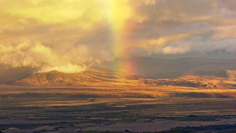
I was in the middle of preparing the rice/noodles/peas when an Australian couple turned up with huge packs – Jeff & Rachael. Much discussion followed about how we were completing the track, Stewart Island, travel in Europe, and when the sunset beckoned, complete with rainbow, we went out onto the deck so that I could try an exposure bracket pan, which had to be explained.
Looks like an early night tonight, but hopefully a shorter and somewhat drier day tomorrow. Jeff has lit a fire and the clothes appear to be drying.
Today’s tramping timetable:
| Where | When |
| Pickup @ Ohakune | 9:00 |
| Start tramping @ carpark | 9:20 |
| Waitonga Falls | 9:55 |
| Arrive Mangaehuehu Hut (lunch) | 11:55 |
| Leave Mangaehuehu | 12:20 |
| Finish @ Rangipo Hut | 16:05 |