Tuesday, August 28: Cloudy to begin with but calm, becoming sunny & warm
Sea kayaking: 26.1 km
Glöskärviken wilderness camping
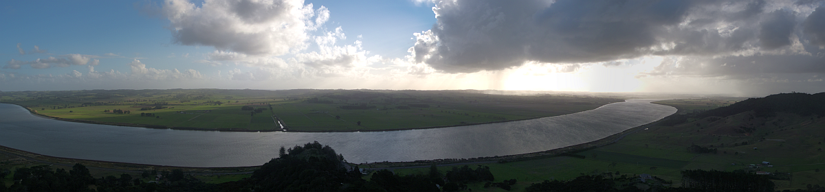
Time to get back onto the water today, and that meant an early rising for everyone from about 7:30 onwards, breakfast with the luxury of a table, and packing away everything and carting it all down to the boats, which were quite full of water after yesterday’s storm. Once the hut had begun to empty somewhat, some cleaning, sweeping and vacuuming could be done, but all were very enthusiastic again after the day off, and we were ready to go by 10:00.
This morning’s rather long stretch required about four breaks on the water, but we could see where waves had washed up on the rocks in the course of the storm. Eventually we reached an island south of Tjörn and turned into a sheltered bay for a rather late lunch, close to Beateberg. This would have been a pleasant camping site, in a number of ways similar to Hälsön (shallow bay, meadow). People went exploring, Kirsten and Jan went for a swim, Jörn put up his hammock and had a snooze. When all were back and ready to go, Philipp tried using his wifi enabled camera for a group portrait on the water with everyone (himself included) in their boats, which took considerable time to set up, and, as the boats were drifting, didn’t particularly look like it would succeed. However, with that out of the way, we left the bay for another open crossing.
Slide Show
Click on the image to stop/start the animation
I was having problems with inflamed eyes, although I could not really understand how this hay fever could develop, especially after the rain. My sight was greying out and I had to paddle rather blindly, opening the eyes for only about a quarter of the time. I had tried half a cetirizin tablet for lunch, and that initially provided but little improvement. Towards the end of the crossing we approached an island, and the buildings seemed to be familiar: It was indeed Brunskär, which we had paddled through just over a week ago. The circumnavigation of Orust and Tjörn was now complete.
It was time to look for a campsite for the night. The first attempt was not crowned with success. Whatever Phlipp thought was a meadow was nothing but rocks, so we continued on a distance just past a settlement (Åkerhög), where we looked around a bit before heading across the bay to a meadow which was suitable for the tents, but very much as a last resort because it was probably inside the one nature reserve.
Dinner had to be fairly quickly dealt with because of the long day and the late hour, and it was a can of baked beans in tomato sauce with ham and spaghetti, and everyone was in their tents just after sunset.
OpenStreetMap
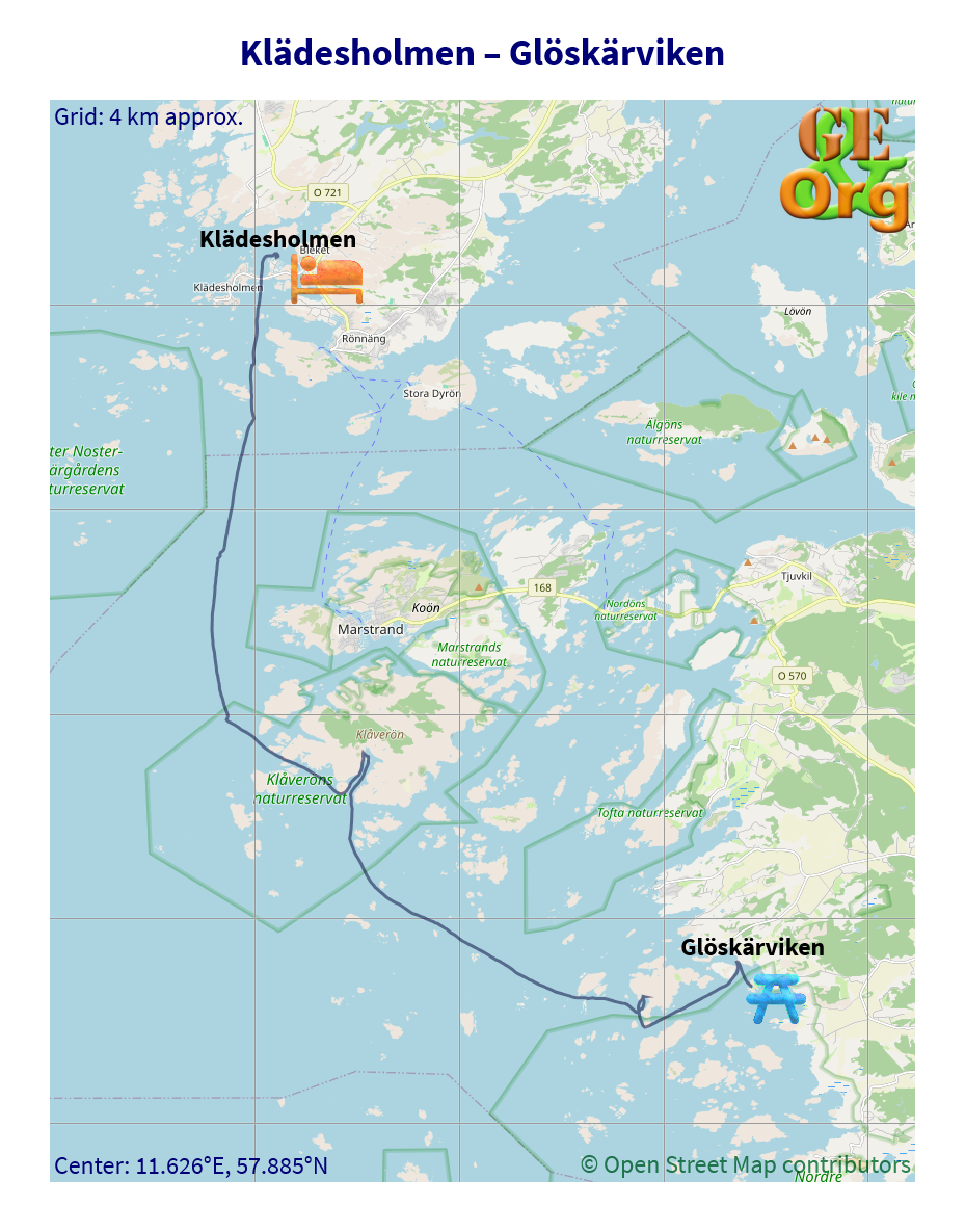
Back on the water. GPS quality: 30/30, coverage: 100%