Category Archives: GPS Tracks

21. New Plymouth – Whanganui: Dawson Falls

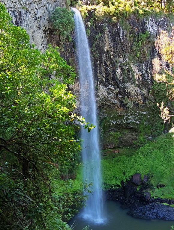
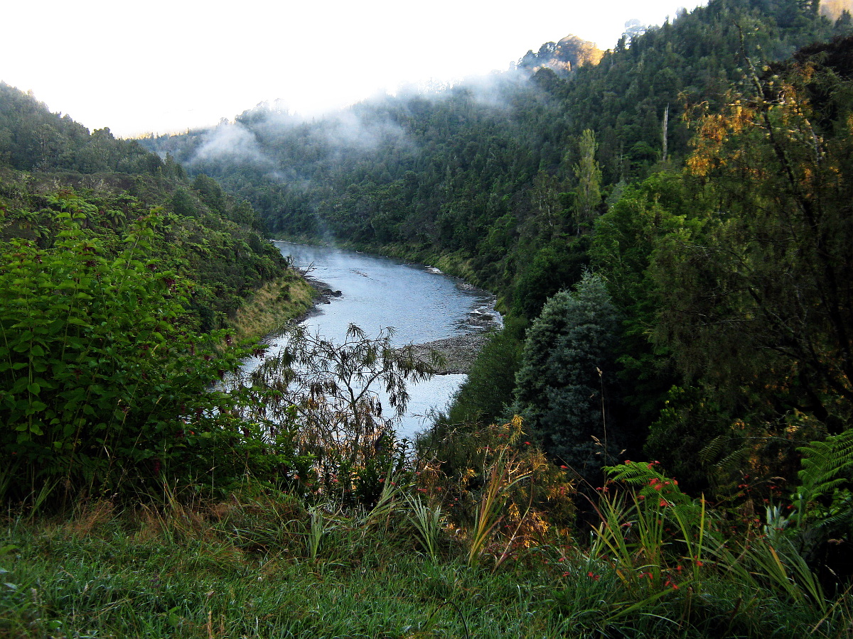
Tuesday, March 3: Very cloudy at first, becoming fine in the course of the afternoon
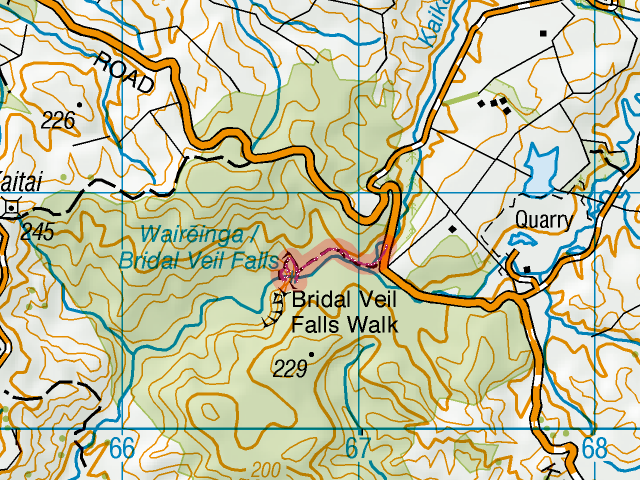
Tramping: 1.4 km

Hikurangi StayPlace, 1 Mount View Rd., Whanganui 4500, tel.: +64 6 343 3333. Single room with shared (1x) bathroom & toilet (BBH, $40 + $3)

Under the volcano
Under the volcano. Topo set: [download id="1677"]

Couldn’t sleep the last hour or so, so I was up at 8:00 and had a very frugal breakfast of muesli bars, crackers and coffee. The car had to be properly organised for the rest of the trip and that took up the next 2 hours. The case was reserved for the rest of the books and fresh clothes, the pack takes on the computer and diaries in the main compartment, and the vanity bag in the bottom one, the chilly bin is packed full of spoilable food and other stuff that needs to be kept cold, and there is a shopping bag with non-spoilable food and the large shampoo etc. bottles. The camera bag is now loaded with batteries and cards; one A470 is ready to go in the glove box, and the SX120 is in its pocket in the pack. A notebook with pen is with the glasses & ipod in one of the open compartments on the passenger side. Almost 100% ready to go. Read more…

19. Raglan: Bridal Veil Falls and Ngarunui Beach

Sunday, March 1: Warm and sunny with barely a cloud

Tramping: 1.7 km

Robert’s

I had gotten a fairly good night’s sleep and was up and about just before Robert, and we had breakfast together: Cornflakes, a couple of poached eggs on toast, and coffee. After getting the stuff together that I needed for photography, I set off for the Bridal Veil Falls for the walk and photo session #1.

Bridal Veil Falls
Bridal Veil Falls
The turnoff is a couple of kilometres down the road, and then a farther turnoff into the Kawhia Road led to a car park. Unfortunately the road is a dead end, otherwise I would have considered taking it to Kawhia, just to see the town again after 2009. Will have to see what alternatives there are.

Bridal Veil
Short stroll, map detail. GPS: [download id="1739"], map: [download id="1691"]
At the car park there were plenty of cars and not many signs of break-ins, so I took off in crocs as it was an easy walk. The waterfall is quite high (55 m) and the track starts at the top where the water disappears over the edge. There are a total of four lookouts, two at the top, one in the middle and one at the bottom. I started taking photos at the bottom with a time lapse of about half of the falls (first without, then with the filter) and repeated at the middle lookout (where the shooting had to be portrait orientation to capture the whole image) and at the top I got a time lapse of the water disappearing and a single shot of the “No abseiling” sign, although it is strangely out of focus. Read more…

16. Ohakune: Old Coach Road

Thursday, February 26: More or less cloudy the whole day, increasing in the afternoon, but no rain

Cycling: Old Coach Road, 30.1 km
Swimming: 1200 m

Danni’s

GPS Track/Topo Map

Got up closer to 8:00 than previously the case and had breakfast before Simon turned up with his daily bread. That was the last of the eggs, so I will have to go shopping in the afternoon for something for tomorrow morning.

The Old Coach Road as a mountain bike trail was on the programme for today. I was ready to go just before 9:30 and cycling down Railway Row I seriously considered going back and trying on the breast mount for the camera. That wouldn’t have been such a good idea. Read more…

14. Oturere – Tongariro Crossing – Mangatepopo – Whakapapa: Tongariro Northern Circuit 3/4

Tuesday, February 24: Rain overnight clearing to foggy and then sunny with patchy clouds

Tramping: 20.9 km

Danni’s ($200 for 3 nights)

Nick had taken one bed of the triple that I had occupied and, unfortunately, he snored – mainly when on his back, so waking him & telling him to turn over produced a significant improvement. Towards morning the snoring also started in the side position, and not much else could be done, but poke him every now and then.

Tongariro Valley
Looking back over the Tongariro Valley at sunrise
Just before 6:00 people started getting up. Two dormitories were separate from the kitchen but not by much and the third was in the bedsitter, so to speak. I boiled some water for coffee and had some salami, cracker and muesli bars for breakfast before packing my stuff outside. It looked like I would be starting the tramp today with Nick & Slater, all the others except Khalil were going in the other direction.

We pushed off around 7:30 and looking back from the first hill was a photo opportunity for another time: Sunrise over the Tongariro Valley, with fog covering the river and the sun from behind. What a pity that we had to push forward. After a longer plain we reached a lava tongue and from here onwards it was pretty steep uphill until the Crossing was reached. I left the other two behind at this point as I was coming into stride. Read more…

13. Waihohonu – Oturere: Tongariro Northern Circuit 2

Monday, February 23: Rain overnight, overcast at first, clearing to fine with a few clouds and warm. Later very changeable

Tramping, 7.7 km

Oturere Hut (DOC, $32)

Ngauruhoe promised to give a bit of a sunrise so I set up the A470 with infinite focus and it seemed to work OK. We were later for breakfast than the others who were headed directly to Whakapapa because their bus was to pick them up at 2:00.

Lava Tongue
Track across a pretty barren lava tongue between Waihohonu and Oturere
Had some of the bread and salami for breakfast, with 2 double coffees with condensed milk for breakfast, then packed my stuff together and spent some time discussing this & that with Khalil, Nick & Slater, who were all headed in the same direction. Eventually we decided to move off.

The path today traverses a number of lava flows, albeit with different vegetations. The first couple were mountain beech and very full of epiphytes. I took a number of pictures of small berries in red and purple. We stopped briefly at a river, and then moved into the more recent volcanic/alpine communities. At this point I decided that I had reached my warm-up point and set off at my preferred pace, which was considerably faster than that of my companions. I made a point of photographing the landscapes, and still I was almost an hour ahead of the others. Read more…

12. Whakapapa – Waihohonu: Tongariro Northern Circuit 1

Sunday, February 22: A bit cloudy to begin with, less cloud during the day and quite warm

Tramping, 21.8 km

Waihohonu Hut (DOC, $32)

Managed to beat the compass/alarm this morning and even managed a shower. After all the work of tidying up Danni’s place opposite I wasn’t really expecting Simon to be up and he wasn’t. After the shower I made my own breakfast of muesli, 2 fried eggs and coffee. Packed the loaf of bread in with the rest of the food for the hike.

Got most of the stuff into the suitcase and dragged it down the hall, and was in good time for the bus. Two German women were coming along for the ride, one just to do the crossing, the other, Ina from Kiel was doing the circuit, albeit in clockwise direction. The bus trip was provided by Dempsey’s Buses via the Station Lodge, for $30 in cash, which I presumed to be a return ticket. Further passengers were collected along the way. After the turnoff there was a very dusty old dirt track, and at the stop everyone except me and Ina got off. Read more…

10. Tieke Kainga – Pipiriki: Whanganui River Journey 5

Friday, February 20: Sunny, warm, with a few clouds

Kayaking: 22.1 km

Sue & Simon’s

GPS Tour

The rooster crowed at about 7:30, and I got up to boil some water for what pitiful drowned remains of the coffee were left. Not much else left for breakfast, a couple of muesli bars and an egg. Got Rebecca to give us her email address and everyone was off before we had finished packing, all except for Andrea, who didn’t want to be left to leave last, but then a couple of canoeists turned up who were leaving later from the lodge (Bridge to Nowhere Lodge). We were underway and soon overtaking the others.

We passed the Ngaporo Campsite at about the halfway point at around 11:00; Pea wanted to get a bit further before descending on the last remaining food. I spotted a shingle bank not very far past the campsite and we decided to finish off as much as we could there. Read more…

9. John Coull – Tieke Kainga: Whanganui River Journey 4

Thursday, February 19: Fog in the morning, still warm, sunny after the fog had lifted, with increasing cloud cover during the day

Kayaking: 32.5 km

Tieke Kainga Marae (DOC, $32)

GPS Tour

Most of the partying crowd were up very early and gone correspondingly quickly. We waved goodbye to them from the hut, as it overlooks the river. We were among the last to leave just after 9:30. I made sure the camera was pointed in the right direction before loading the front dry bag onto the boat, and set it going. Roger & Jackie turned up and made a stop at the hut, and they gave us a push off.

We made pretty good progress throughout the morning, missing one stop that we just wanted to have a short break at (Mangawaiiti Campsite, damned river maps, damned signs) and continued on to the landing where the track to the Bridge to Nowhere starts from (Mangapurua). Lots of boats tied up at a very slippery limestone outcrop, which normally would have required some kayaking practice to get off and on at. Landing in the sheltered covelet, Pea tried to get out, couldn’t hold the boat with her left leg, and promptly the whole caboodle capsized. Managed to get Pea to hang onto the boat while others pulled us ashore. Got out myself, had the boat tied up by a helpful gent, then started on the process of baling the boat out. Read more…

8. Whakahoro – John Coull: Whanganui River Journey 3

Wednesday, February 18: Some fog at dawn, clearing to fine and sunny

Kayaking: 35.2 km

John Coull Hut (DOC, $32)

GPS Tour

Whakahoro dawn
Dawn over the Whanganui River at Whakahoro, with fog

Snoozed until about 7:30, then I had to get up to take the sunrise time lapse in the valley. A bit of low cloud or fog about, but the river was mostly free, so I set the camera going and returned for breakfast. Had the water boiling as Pea was getting up, then it was the favourites of egg, muesli bar, the remains of the crackers and coffee.

Moving all of the stuff back down again proved to be simpler that moving it up. I seemed to miss just one blue dry bag but while Pea was back at the hut trying to find it I found it in the boat. By the time she was back, nearly everything was in the boat. Roger & Jackie turned up just as we were about to go & they took a couple of pictures of us before they took off up to the Blue Duck for a coffee. Read more…

7. Poukaria – Whakahoro: Whanganui River Journey 2

Tuesday, February 17: Very dense fog on the river to begin with, clearing to fine and hot

Kayaking: 23.8 km

Whakahoro Bunkroom (DOC, $10)

GPS Tour

I had gotten the most of a night’s sleep and was awake again by 6:00. The valley was shrouded in very dense fog and I wondered what a time lapse would look like if I could get the camera to focus. It continued to lighten, some voices chirped up and eventually others were awake and up and about. Of course, everything was wet, and my legs were peppered with sandfly bites from the short time between arriving, putting up the tent, and getting the deet and spiderman suit on.

No signs of rat predation so either the rats do not try to get into the dry bags, or they are in insignificant numbers. Read more…