Kepler Track: Te Anau – snowline and back: 29.6 km
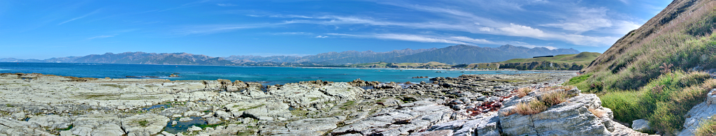
Steamers Beach
Saturday, March 9: Cloudy at first, clearing, with a weaker wind
GPS Track
Youtube Video
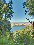
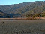
Lake Te Anau redux. Tree on the right has taken a bit of a hit, and the perspective has changed a little, but eminently recognisable
Consulting the maps this morning revealed that the row to the Monument might take longer than expected, so I chose the Kepler Walk-On instead, meaning to go all the way from Te Anau as far as I could, but starting as early as possible, rather than at one in the afternoon. Went to the DoC, booked my transfers and picked up my tickets for the Milford Track tomorrow, and was ready to go by 10:00.
On the way to the control point I teamed up with a young Japanese nurse, Yoya, and got on well with her for the rest of the day. Continue reading